


Easily capture agricultural imagery with autonomous drones
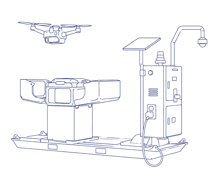
Our autonomous drone-in-a-box systems reduce workload on your farm and keep operations running smoothly.
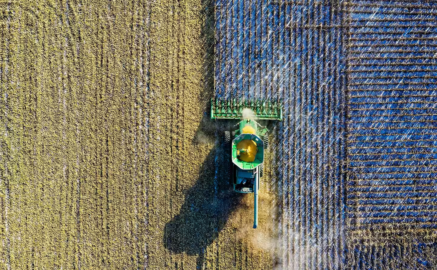
Farmers and agronomists need reliable data & images
Data is more important than ever to run a modern farm, but manual inspections, counts, and field checks take hours away from critical work. Our xBot system automates routine monitoring tasks to capture consistent imagery across large properties. We handle all of the headaches: from aviation regulations and compliance to data storage and visualisation.

Automate aerial image capture
Get the imagery and information you need without the hassle. It’s fast, easy, and reliable.

Cover large farms quickly
See what’s happening in a paddock within half an hour with on demand remote drone flights, without driving out there.

Access imagery from anywhere
All of your images and data are stored securely in the cloud on Australian servers for you to access and share.

Fast & easy to deploy
Designed for remote areas. Easily set up an xBot with minimal infrastructure or completely off-grid.
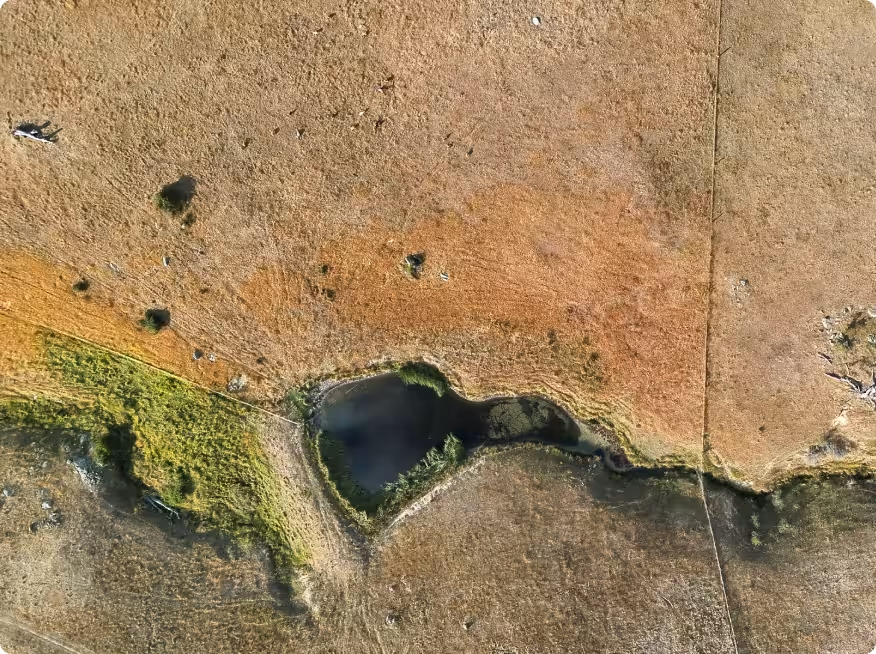
Reduce manual farm inspections
Inspecting crops, livestock, and infrastructure across large properties takes time. Driving from paddock to paddock to check stock, water, and fences pulls crews away from other important work.
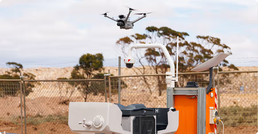
xBot automates routine aerial monitoring so farmhands spend less time on the road and more time focusing on getting the job done. With a drone-in-a-box on site, regular inspections and data capture run automatically in the background.
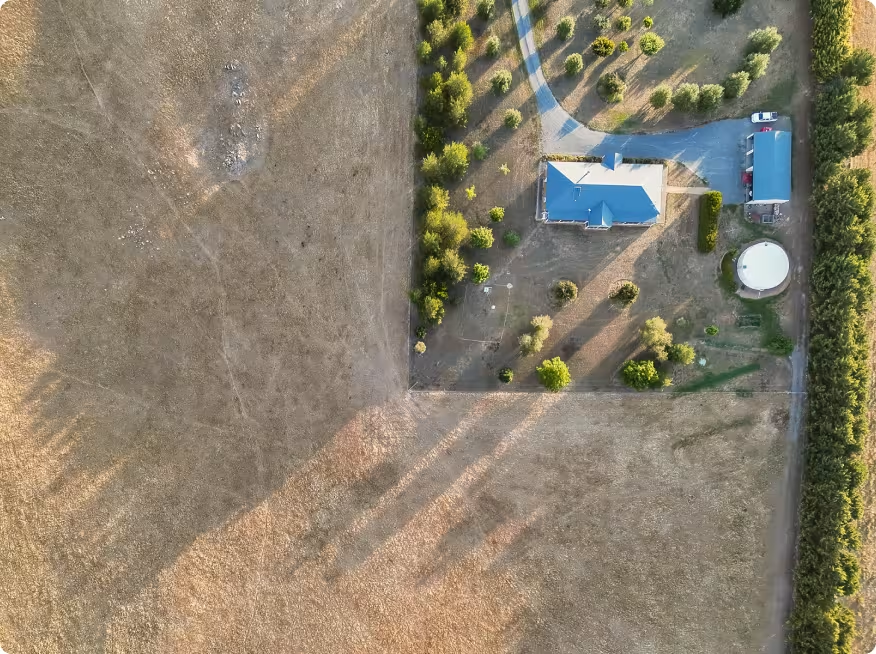
Monitor large farms faster
We know it can be difficult to understand what’s happening across a large property. With xBot, you can check key paddocks in 30 minutes instead of 2-3 hours.
Our autonomous drone-in-a-box systems capture aerial imagery quickly and consistently across the property. Crews get a clear view of farm conditions so they can respond faster and manage operations more effectively.
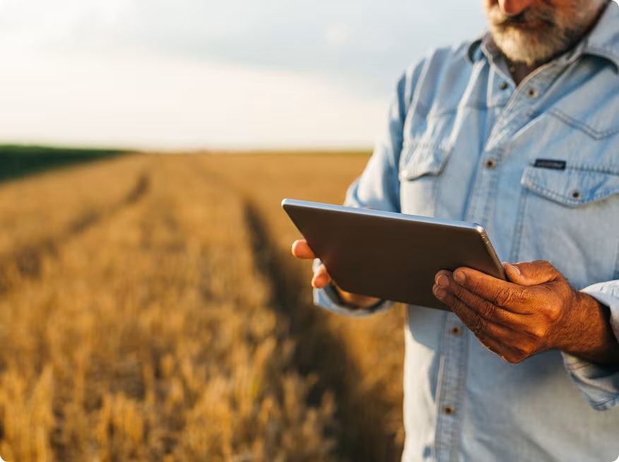
Make farm imagery available whenever it’s needed, for everyone
Manual drone flights can be slow, and you need to store and manage the files yourself.
xBot delivers aerial imagery on demand. Schedule flights in our central portal, then images are captured and sent automatically to SiteTube so you can access them in the cloud straight away. You have a single source of drone data that can be shared securely with anyone like advisors and agronomists.
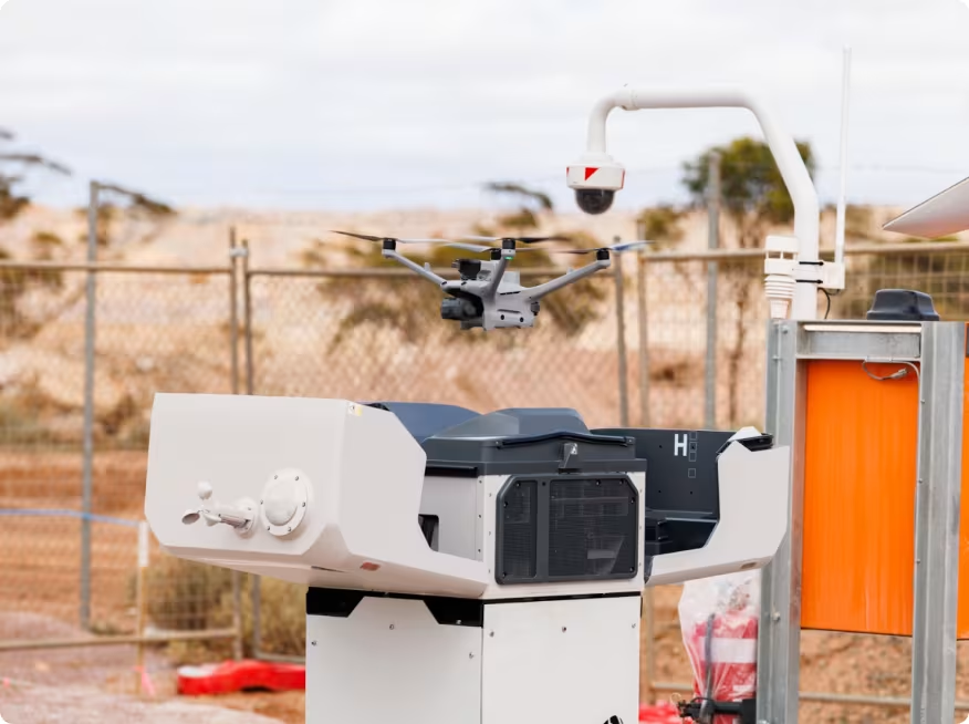
Quick and easy deployment anywhere
Setting up traditional drone programs can be slow and complicated, especially in remote agricultural locations where connectivity and infrastructure is limited.
Our drone-in-a-box systems run independent of farm IT networks, with a Starlink connection and 4G backup. Designed for rapid setup with minimal infrastructure and even a completely off-grid option, your farm can start capturing data quickly.
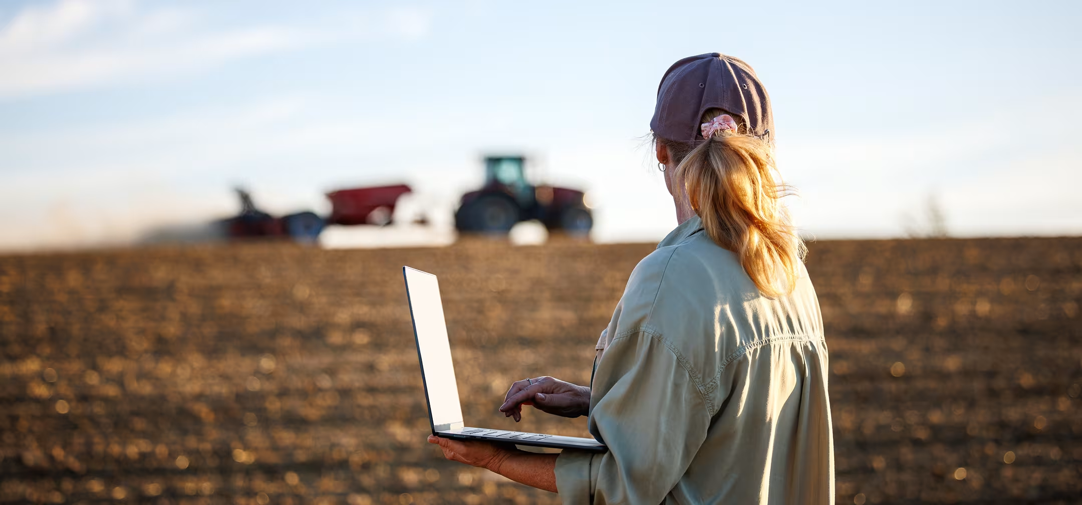



Get aerial farm images whenever you need them
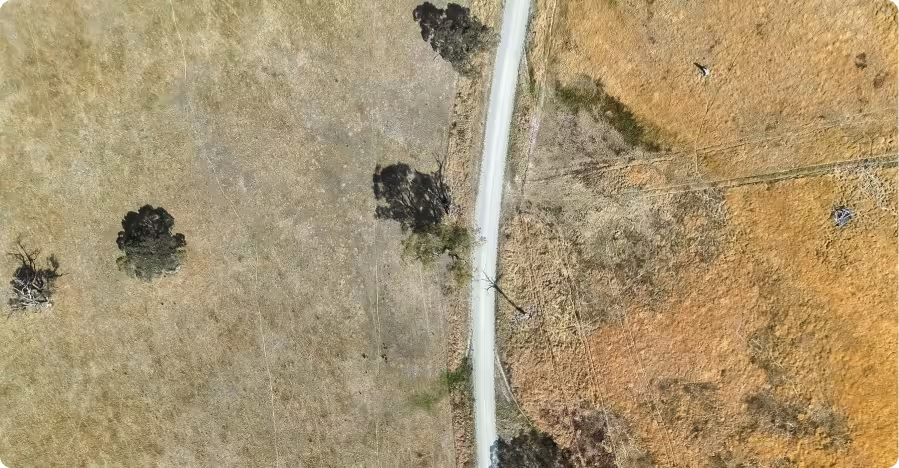
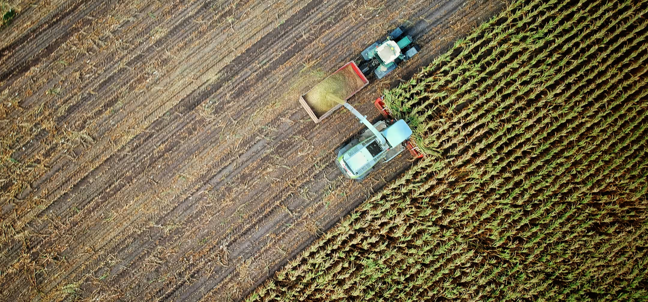
With an xBot system on the ground, you can capture whatever aerial imagery you need, at any time. Count livestock, check on remote crops, and inspect water levels in dams without having to drive out there in person.
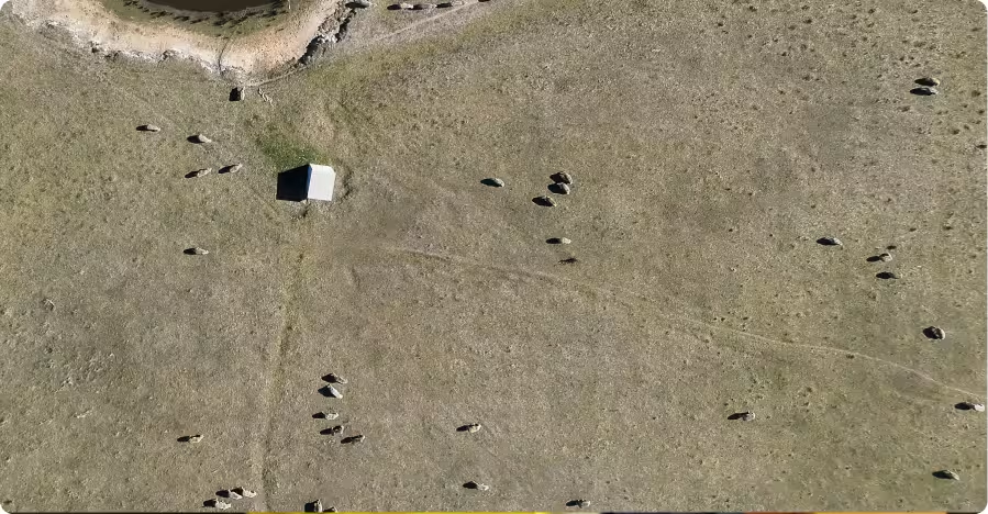
Livestock counting
Accurate livestock counts are essential for managing large herds, but manual counting can be difficult and time-consuming. xBot captures aerial imagery of livestock areas, using automated analysis to count animals quickly and consistently. It also helps identify livestock in the wrong paddock or unusual behaviour that may be missed during routine checks, giving farm workers reliable data without the time and effort of manual counting.
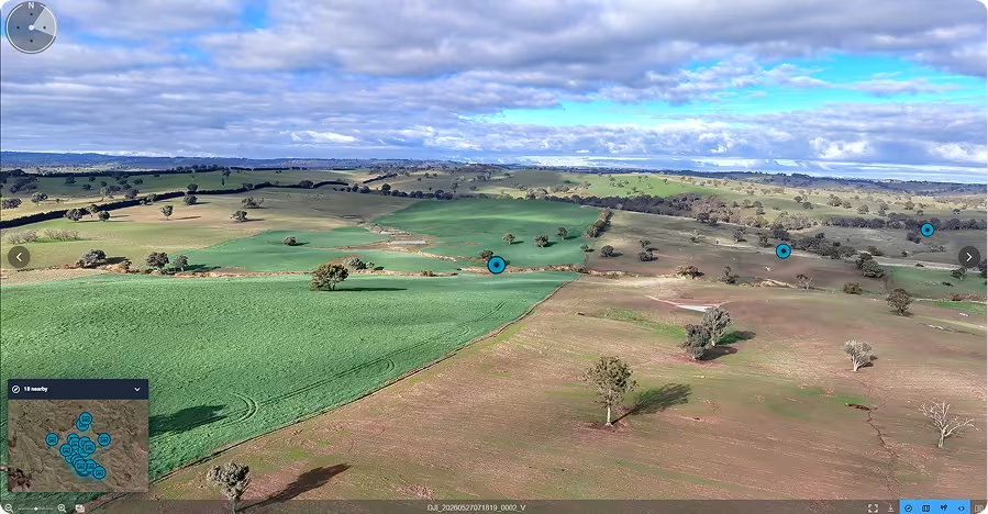
Field monitoring
Visually monitoring crop and field conditions across large farms can be challenging. xBot captures regular aerial imagery to give you a clear view of things like crops, weeds, pests, diseases, treatment, and soil variations. Farmers can track changes over time, spot issues earlier, and quickly identify areas that may need attention. In SiteTube, you can compare historical images to track changes over time.
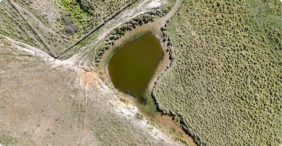
Fence, water and infrastructure inspections
Large farms have extensive infrastructure to monitor such as fences, roads, dams, and creeks. xBot captures aerial imagery that helps farm workers inspect these assets quickly and safely. Crews can review conditions across the property without spending hours travelling between locations.
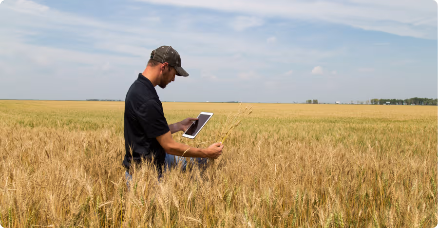
Crop and weed mapping
Understanding crop and weed presence and density early in the growing season helps you evaluate establishment success. xBot captures high-resolution imagery of crop fields that can be analysed to determine plant populations and emergence rates. So agronomists and farm managers get accurate data to support better crop management decisions.
On-demand farm inspections
Your crews often need quick access to aerial data across the property. With xBot, you can request flights anytime to track livestock, assess storm damage, or review crop and field conditions. Regular, on-demand monitoring means you can identify issues that are easy to miss between checks, and respond to them early. You can expand or scale back drone usage as needed, giving your crews more flexibility without adding extra work.
See xBot in action
Automate routine farm inspections, reduce pressure on your crew, and get reliable drone imagery and data whenever it’s needed.

Here’s how the xBot for Agriculture works
Get survey data and images whenever you need them. Schedule a mission, our remote pilots fly it for you, then your data is uploaded and ready to access in the cloud.
SkyLink
Anyone on site can schedule a flight in SkyLink.


Remote Ops Centre
Our ROC team plans the mission and flies the xBot remotely.
xBot Drone
The xBot drone launches and our ROC pilot flies the mission.
SiteTube
Your images & data are uploaded to Site Tube for your team to access.
Approved for Beyond Visual Line of Sight Operations
Operating drones at scale requires strict aviation compliance. Getting approvals to fly beyond visual line of sight (BVLOS) can take months or even years for most operators.
Our team manages aviation approvals and compliance for you. We are approved by Civil Aviation authorities to operate across Australia and Africa and have a large team of experienced pilots who remotely fly xBot missions beyond visual line of sight.
This allows sites to run safe, compliant drone operations without managing aviation approvals, licensing, or regulatory requirements internally.


.avif)
Flexible commercial options
People are often surprised by how affordable this technology is now. We make it easy to get started with flexible options to suit your operational and budget requirements.
You can choose to purchase or lease the DIAB unit and operate it yourself. Or get us to handle everything, including remote operations, with a flexible pay per use consumption model.

Numbers at a glance
See xBot in action
Automate routine farm inspections, reduce pressure on your crew, and get reliable drone imagery and data whenever it’s needed.
Customer case studies
See xBot in action
Automate routine farm inspections, reduce pressure on your crew, and get reliable drone imagery and data whenever it’s needed.

To get the latest RocketDNA product related news, subscribe to our Email Alerts.
The information that you provide above will be processed according to our Privacy Policy.