


Automated workflows that make drone data easy to process
We help you automate the repetitive, manual workflows behind drone data. Get the outputs you need without spending hours processing files and moving data between systems.
.avif)
Workflows to process and use drone data get messy quickly
Files need to move between different software platforms, spreadsheets, emails, and teams. Survey teams often need to do manual file conversions and uploads, or build their own automation with scripts and macros that are hard to maintain. We help you automate these workflows behind the scenes so your teams get the outputs they need without all the manual handling and complicated processes.

Consultative approach
We work with you to understand your requirements, define the scope, design the workflows, then build it all for you.

Scale up drone operations
Automate the data handling to get more use out of your drones and survey data.

Connect multiple platforms
We help you connect survey images and data across different platforms and systems.

Mine surveying specialists
Our team of experienced surveyors and GIS specialists understands mining and what you want to use the data for.
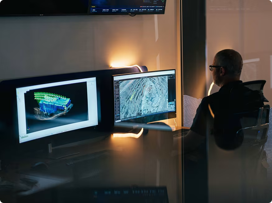
Reduce manual survey data handling
Uploading files, converting formats, renaming datasets, and updating terrain models can quickly become time-consuming and difficult to scale when your survey team is already stretched thin.
Our automated workflows connect your data workflows, software, and survey tools into one reliable process. Repetitive handling tasks run automatically in the background so you spend less time managing data and more time using it.
.avif)
Replace fragile, script-heavy workflows
Survey teams rely on internal scripts, macros, and workarounds to keep survey data moving. But over time, these workflows become difficult to maintain.
We build reliable, scalable workflows using proven tools and pre-built integrations. Instead of patching together disconnected systems, your workflows are properly integrated, supported, and designed to run consistently long term.
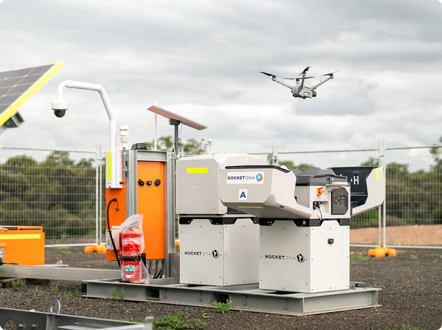
Scale drone operations without creating more work
As drone programs grow, so does the amount of survey data that needs to be processed, handled, and delivered. Without automation, more flights often create more downstream work and more pressure.
Our workflow automation handles repetitive processing tasks automatically, so you can scale drone operations without adding unnecessary workload behind the scenes.
.avif)
Connect disconnected mining systems
Managing drone and survey data across multiple platforms, terrain models, reporting systems, and operational teams can quickly become complicated and difficult to scale.
We integrate your existing software, tools, and workflows into one connected system that keeps survey data moving automatically from capture through to final delivery.






Simplify the workflows behind drone data
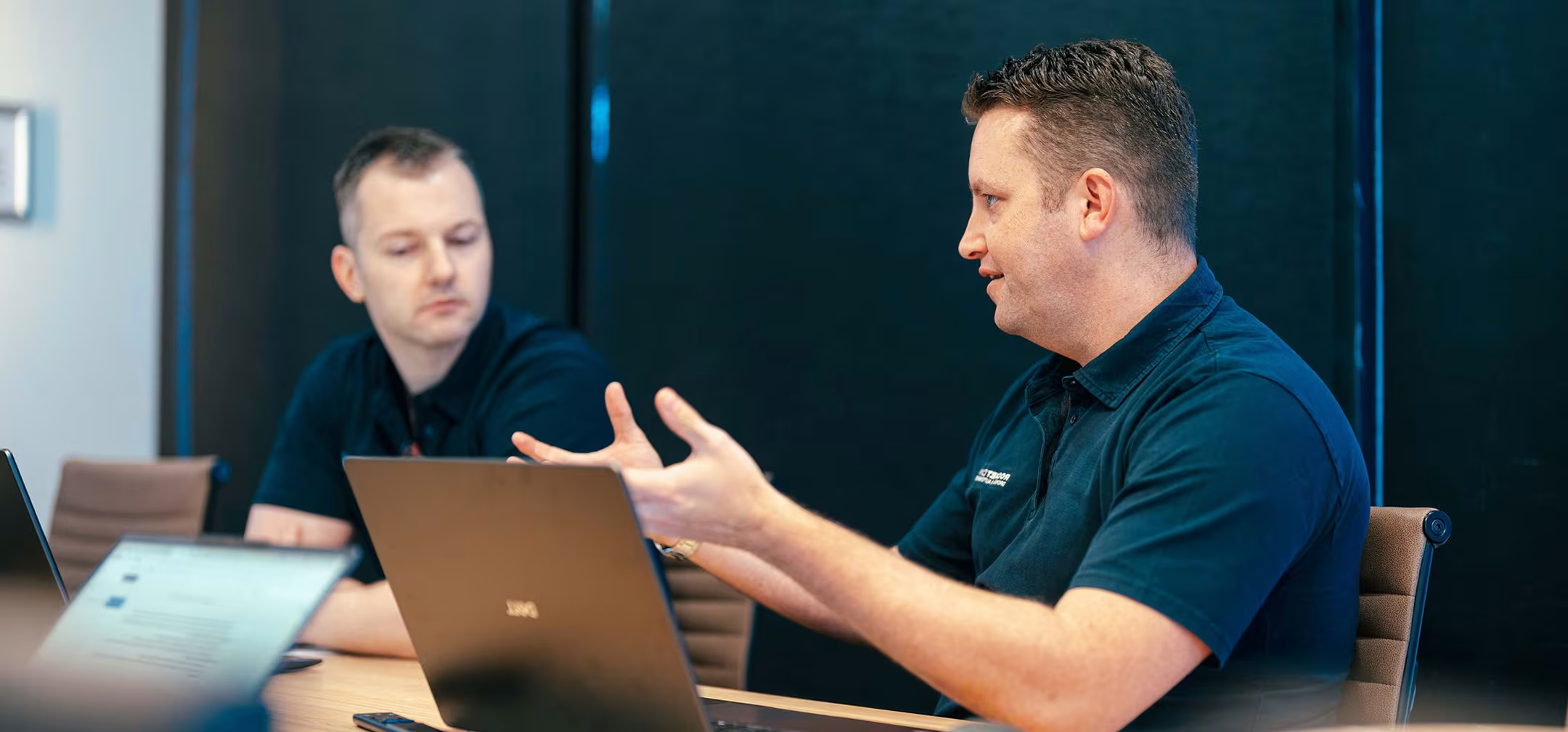
Every mining operation handles survey and drone data differently. Some need faster terrain model updates. Others want to automate repetitive inspections, simplify reporting, or reduce the amount of manual handling behind the scenes. Our workflow automation and integration services are designed around the operational problems sites are trying to solve. Common applications include:
Automated terrain model updates
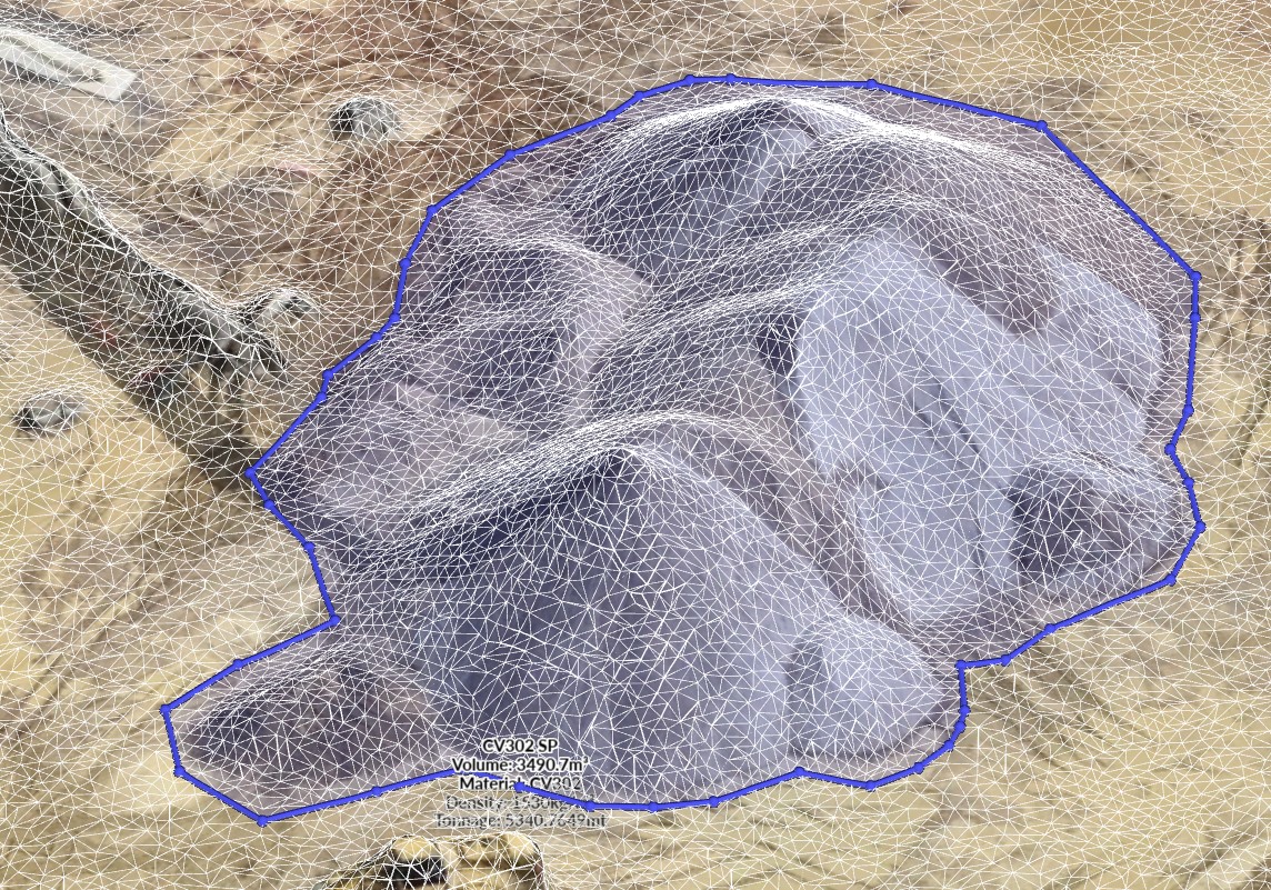
Keeping master terrain data up to date can involve multiple manual file handling steps. Our automated workflows process drone captures, generate outputs, and deliver updated terrain data into the correct systems faster and more consistently.
.avif)
Change detection and monitoring
Monitoring how pits, roads, stockpiles, or infrastructure change over time often requires teams to manually compare datasets and imagery. Automated change detection workflows identify differences between captures and flag important changes for teams to review quickly.
.avif)
Automated inspection workflows
Routine inspections of berms, pipelines, ponds, conveyors, and other infrastructure can create large amounts of repetitive data handling. Automated workflows capture, process, organise, and distribute inspection data automatically so teams get the information they need faster.
.avif)
Photogrammetry and data processing
Processing drone imagery into orthomosaics, DSMs, DTMs, and other formats is slow and manual. Our workflows automate this processing and file handling so your outputs are consistently delivered in the right format.
.avif)
Object removal and clean datasets
Having to manually remove vehicles, equipment, conveyors, and vegetation from survey outputs and terrain models is slow work. Our automated workflows identify and remove unwanted objects from datasets, so your team can produce cleaner and more usable survey data, fast.
.avif)
File handling and data delivery
The hours stack up when you have to manage folders, rename files, zip datasets, and distribute outputs across teams. Our automated workflows handle these repetitive tasks seamlessly so data moves to the right people and places without manual intervention.
.avif)
Get a demo
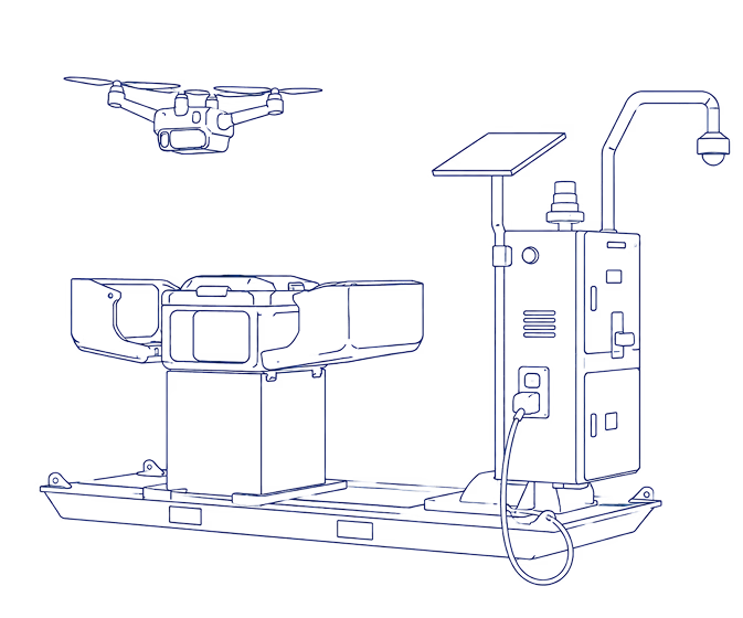
We’ll show you what it looks like when the hardware and software are neatly plugged together, running as an autonomous task engine.

Here’s how it works
SkyLink
Anyone on site can schedule a flight in SkyLink.


Remote Ops Centre
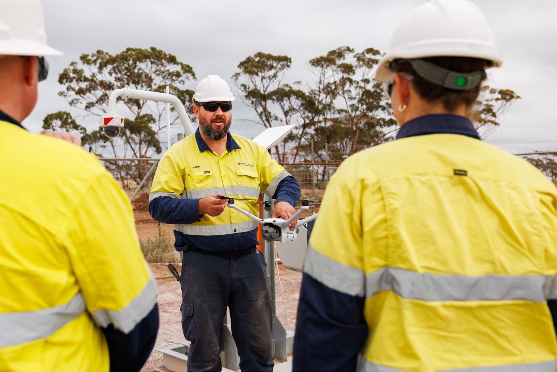
Our ROC team plans the mission and flies the xBot remotely.
xBot Drone
The xBot drone launches and our ROC pilot flies the mission.
SiteTube
Your images & data are uploaded to Site Tube for your team to access.
Approved for Beyond Visual Line of Sight Operations
Operating drones at scale requires strict aviation compliance. Getting approvals to fly beyond visual line of sight (BVLOS) can take months or even years for most operators.
Our team manages aviation approvals and compliance for you. We are approved by Civil Aviation authorities to operate across Australia and Africa and have a large team of experienced pilots who remotely fly xBot missions beyond visual line of sight.
This allows sites to run safe, compliant drone operations without managing aviation approvals, licensing, or regulatory requirements internally.




.avif)
Flexible commercial options
People are often surprised by how affordable this technology is now. We make it easy to get started with flexible options to suit your operational and budget requirements.
You can choose to purchase or lease the DIAB unit and operate it yourself. Or get us to handle everything, including remote operations, with a flexible pay per use consumption model.

Numbers at a glance
Get a demo
We’ll show you what it looks like when the hardware and software are neatly plugged together, running as an autonomous task engine.

Customer case studies
See xBot in action
Automate routine survey missions, reduce pressure on survey teams, and get reliable drone data whenever it’s needed across site.

To get the latest RocketDNA product related news, subscribe to our Email Alerts.
The information that you provide above will be processed according to our Privacy Policy.