Where are all the surveyors?
Australia’s surveyor shortage is only growing. While the Covid-19 pandemic disrupted the intake of migrant skilled labour, there is also a declining interest in young people choosing surveying as a career.
Research conducted by the Association of Consulting Surveyors National recently revealed that “the ongoing skills shortfall in the surveying and geospatial profession will reach nearly 1,400 professionals nationally by 2024, eventually reaching over 2,000 in 2029 – which is an average of 1,500 extra surveyors and geospatial professionals required each year to meet national demands”. ¹
The impact of this shortage has delayed projects, increased demand on existing surveyors and created escalating costs.
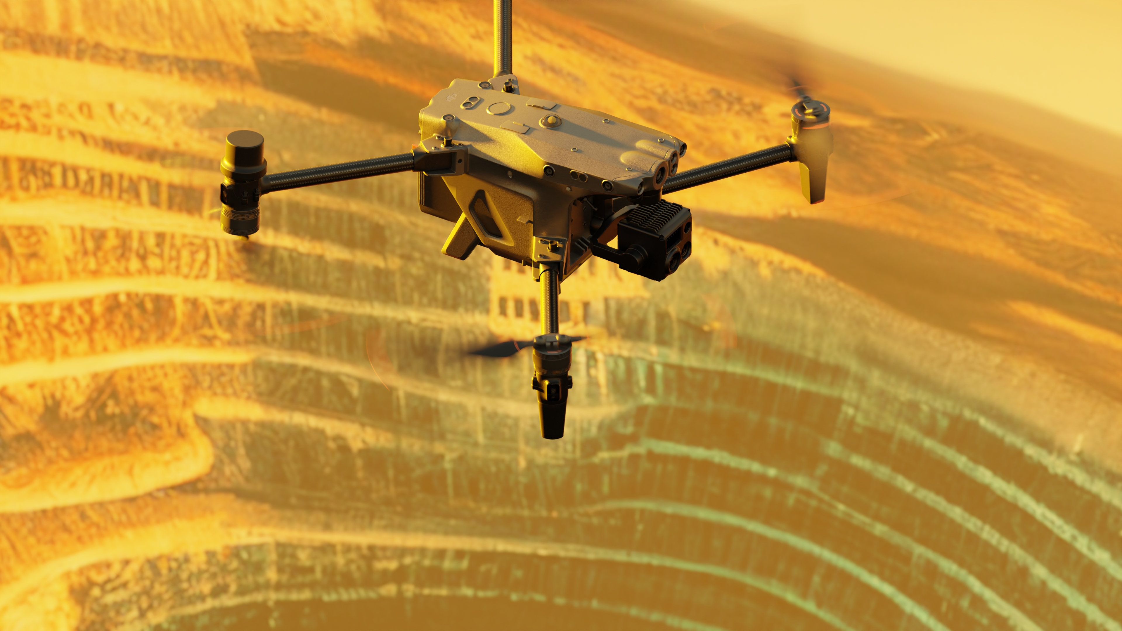
However, there remains a major opportunity for mining and other industries to fill this skills gap by harnessing drone technology to assist in data collection needs.
This is not a case of replacing surveyors with technology but using data collection tools to free up their time to focus on existing responsibilities on site.
Why outsourcing works
It is interesting to note that one of the four core recommendations made by the Surveyors National study to combat this skills shortage is to “utilise technologies and systems to improve productivity”. ¹
At its most basic, outsourcing your drone data collection works because its cost-effective and saves time, however, there are multiple reasons as to why contractual drone operations can benefit site operations:
1. You can free up your team to do what they do best – drones are not here to replace surveyors, they are here to provide consistent and quality data to supplement and maximise their responsibilities
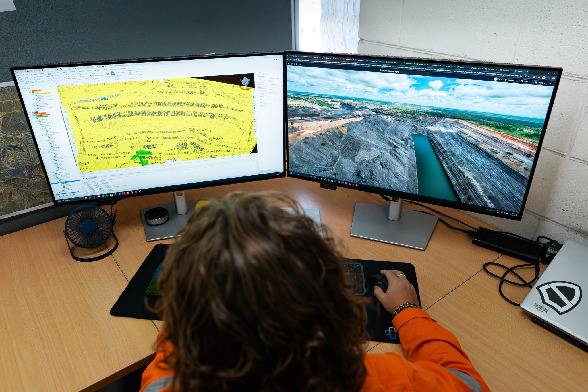
2. Critical decisions can be made in real time – drone data is faster and more reliable than other collection methods. You get more information, quicker and can therefore make better decisions
3. Outsourcing means that compliance and regulatory headaches are taken care of – managing regulatory approvals and applications is time-consuming and costly.
4. Maintenance costs and administration costs are removed – outsourcing your data collection needs to a commercial drone operator means that all pilot training, drone maintenance costs and administration are taken care of
5. Your entire team can benefit from the data – the right commercial drone data company can provide data and supplementary AI software to ensure that data can be useful across multiple departments.
The RocketDNA solution
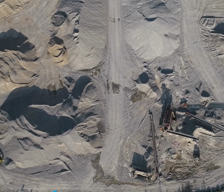
For almost a decade, RocketDNAhas successfully offered contractual onsite and ad hoc aerial surveying services to help some of the world’s largest mining companies to achieve these goals.
Fully accredited by CASA and BARS verified, safety, quality and compliance are always at the forefront of RocketDNA operations. With established management systems in place, and a strong relationship with the aviation regulator, our team can provide quality and consistency across multiple departments. Our beyond-the-line of-sight (BVLOS) approvals and technology reduces human risk and provides big data for large operations.
With knowledge and experience in Engineering, Surveying, Aviation and Geospatial, the Rocketmine team tailors support to maximise output for each client. Through timely and accurate data capture, our AI powered analytics software helps maximise mine surveyors’ time, enabling them to utilise data rather than spend time in the field collecting it. RocketDNA can free up surveyors to focus on their job armed with current information, providing continuity and productivity.

¹ Determining the Future Demand, Supply and Skills Gap for Surveying and Geospatial Professionals: 2022 – 2032. Prepared by BIS Oxford Economics for Consulting Surveyors National.

.png)