Autonomous drones are fast becoming anon‑negotiable part of tailings‑dam stewardship. The new Global Industry Standard on Tailings Management (GISTM) demands robust, lifecycle‑long monitoring and ‘zero‑harm’ outcomes. Below are ten practical, field‑tested way autonomous, drone‑in‑a‑box systems help mining teams meet the GISTM, keep regulators satisfied, and free their surveyors for higher‑value work.
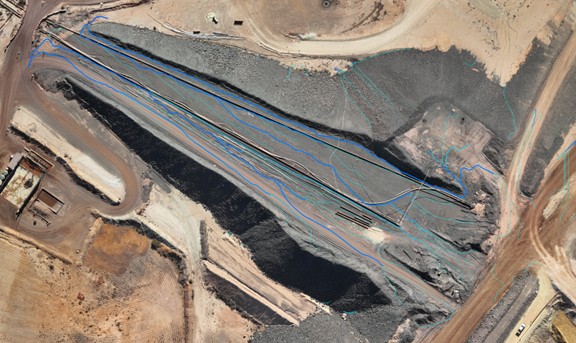
1. Time‑lapse change detection you can scroll back through
Daily, repeat‑pass flights give you pixel‑perfect views of beaches, embankments and pond margins. Engineers can replay any date and instantly see whether damp spots are growing, slopes are slumping, or vegetation is creeping in.
2. Sensor‑triggered rapid‑response flights
Connect the dock to vibrating‑wire piezometers or prism monitoring systems and the drone will auto‑launch the moment a pore‑pressure or displacement threshold is crossed, streaming live video and orthos to geotechs before anyone drives out to the wall.
3. Surface + subsurface data on one dashboard
Merge high‑resolution imagery with VWP trends and GNSS or prism data to build a single behaviour model – exactly what GISTM calls an “integrated knowledge base.”
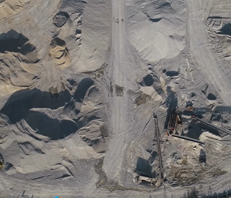
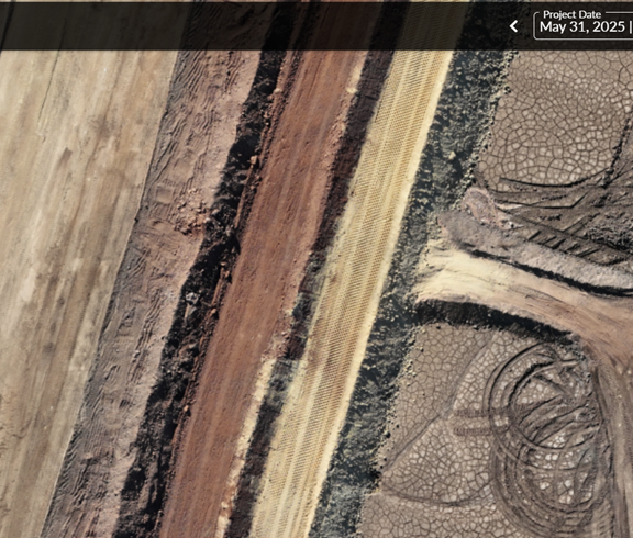
4. Routine pipeline & spigot inspections
Scheduled runs along slurry lines and spigots create a time‑stamped video record that makes leaks, blockages or eroded berm pads jump out. Teams locate and fix issues in hours rather than days.
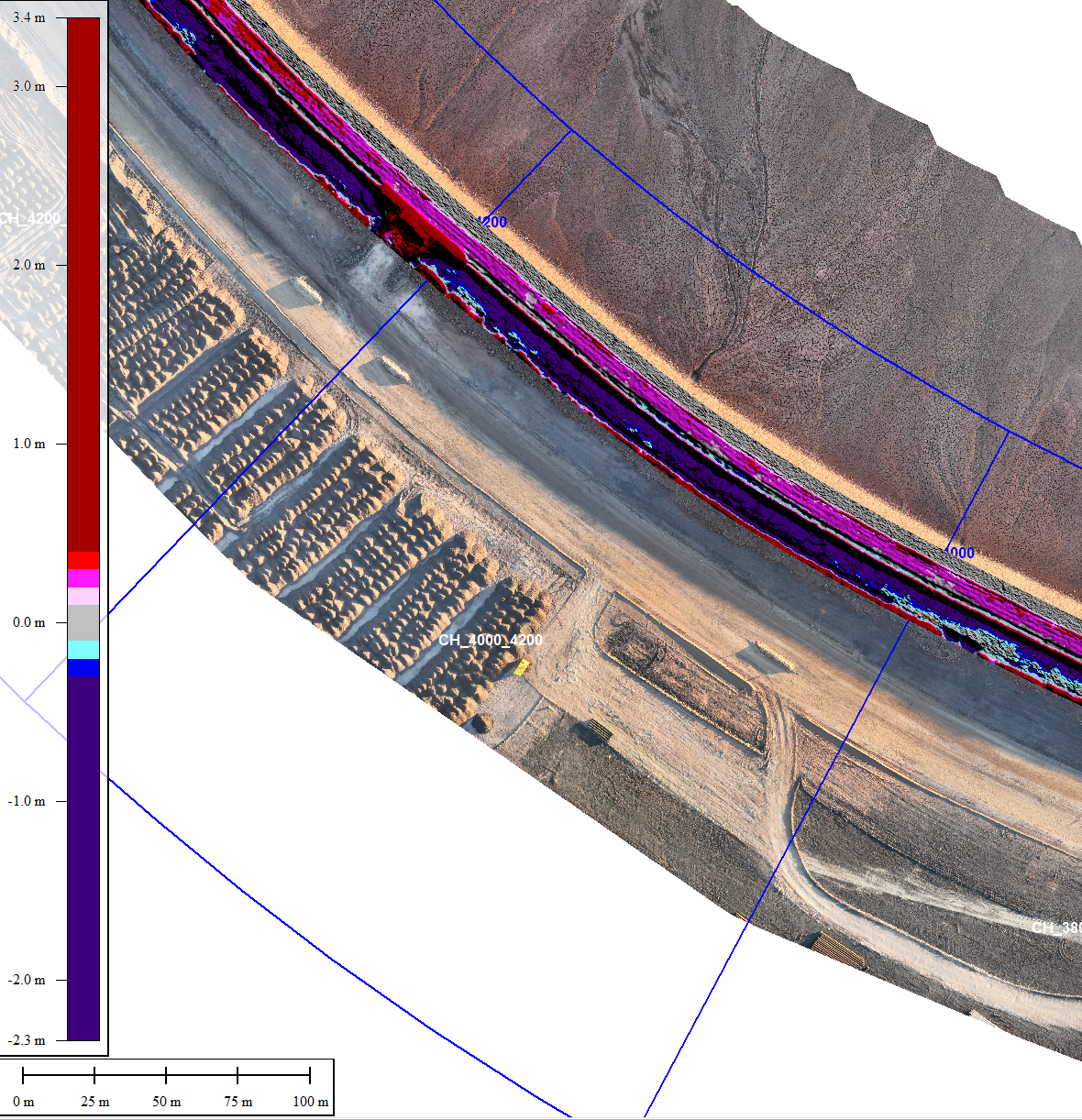
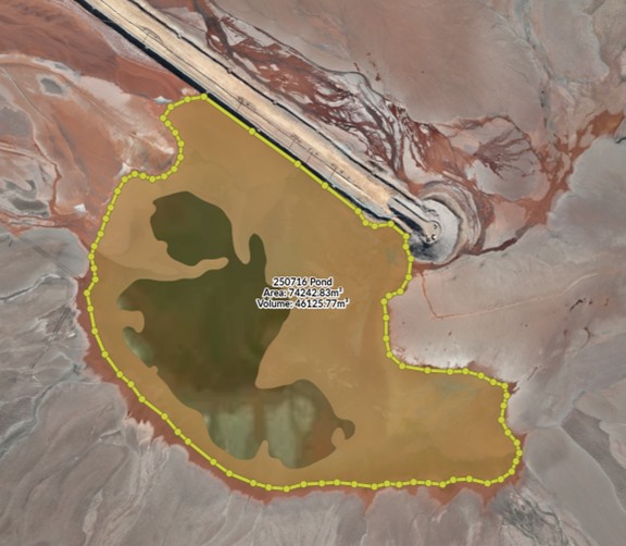
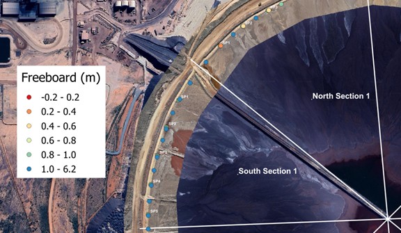
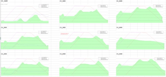
5. Freeboard & pond‑area tracking, to centimetre accuracy
Photogrammetric surfaces captured several times a week let surveyors measure beach slopes and pond areas, while eliminating the exposure of walking on dam surfaces or up and down embankments.
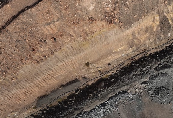
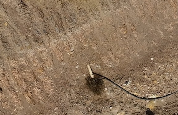
6. Thermal seepage & erosion hotspot detection
Oblique thermal/RGB flights flag cooler, wetter zones on downstream faces long before water shows up at toe drains, giving engineers time to investigate and respond.
7. Watershed & spill‑path verification after every storm
High‑resolution DEMs feed directly into hydrology models so you can check that bunds, diversion drains and spillways are still on‑grade and ready for the next wet season.
8. On‑demand remote inspections for off‑site experts
From the ROC or head‑office boardroom, a single click launches the drone for a live fly‑around – perfect for audit teams, insurers or ESG reviewers who can’t get to site.
9. Automated deposition & volume reports
Automated processing delivers daily solids‑in‑pond volumes and free board deltas to engineers, ensuring deposition stays within design limits and wall‑raise schedules remain on track.
10. Doing more with the people you already have
Each autonomous flight replaces an hour‑plus of manual work (travel, setup, data wrangling), letting surveyors focus on QA/QC, design conformance and risk analysis – not babysitting drones.
Key Benefits
- Optimised resource allocation: Automating routine monitoring tasks allows skilled personnel to focus on higher‑value activities.
- Improved compliance and quality control: Enhanced oversight ensures better adherence to engineering plans and regulatory standards.
- Effective water management: Regular monitoring of pond size and position supports water balance control and dam stability.
- Regulatory compliance and operational efficiency: Ongoing deposition and freeboard monitoring help ensure compliance while maximising the interval between dam wall raises.
RocketDNA delivers end‑to‑end, docked‑drone solutions – installation, ROC staffing, sensor integration and GISTM‑ready reporting – so your team can focus on the decisions that count. Reach out and we’ll help you scope a solution that solves a real TSF headache in weeks, not months.
.png)