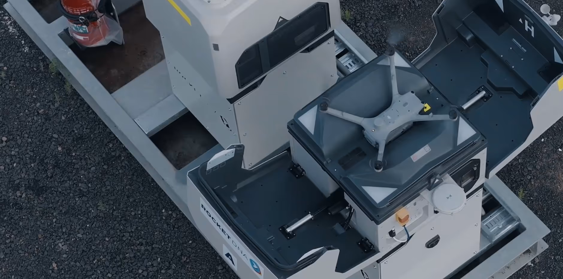
Automate drone data capture, access it anywhere
Schedule routine flights and add new ones on-demand with our drone-in-a-box system. We fly the drone remotely and upload the files to the cloud so your team can access them immediately, from anywhere.


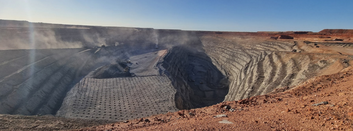
Faster drone survey data, less stress for surveyors
As demand for drone survey data grows at every mine, survey teams are overloaded. Many mines now use xBots to automate routine tasks, giving everyone on site faster access to survey data.
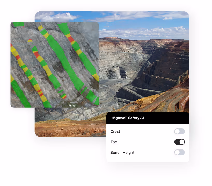

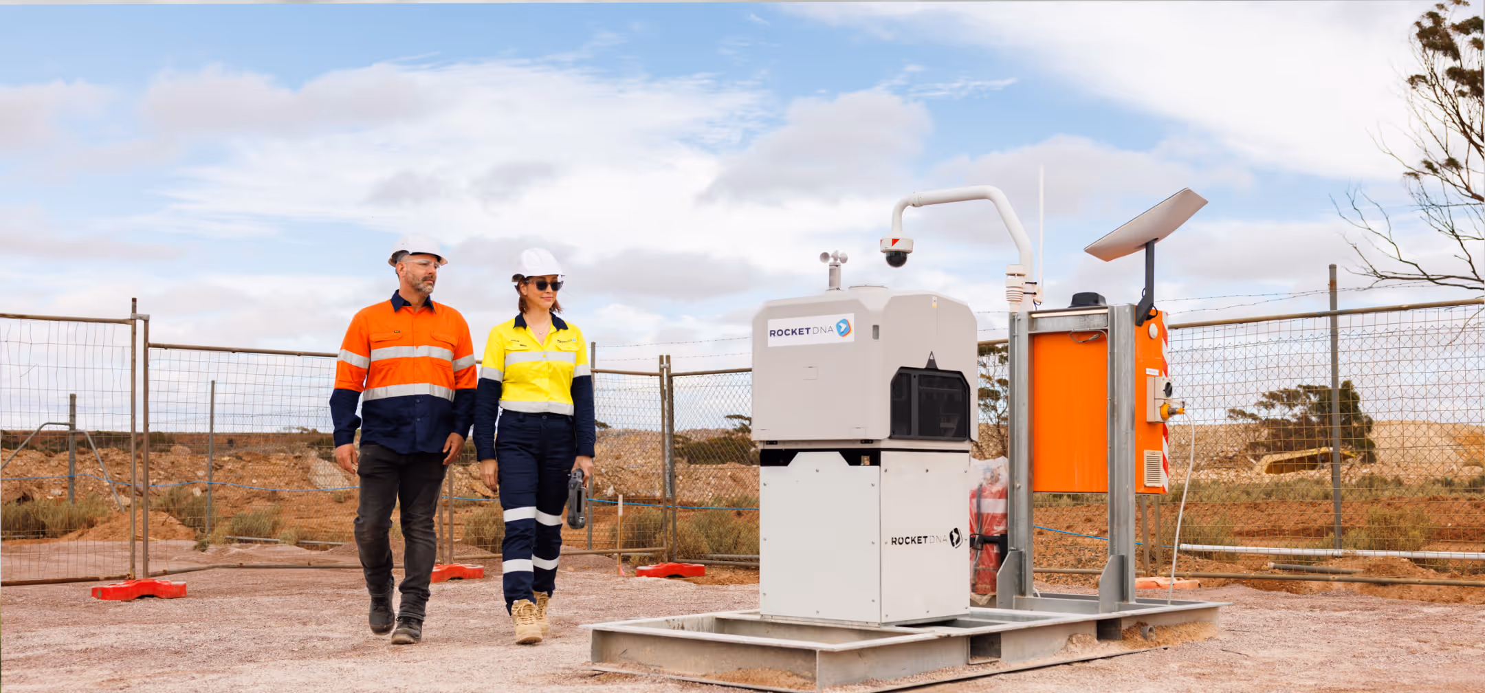
Automate your critical asset inspections
xBot autonomous drones make it fast and easy to inspect assets and infrastructure. Schedule routine inspections with less driving around and manual work in remote areas.

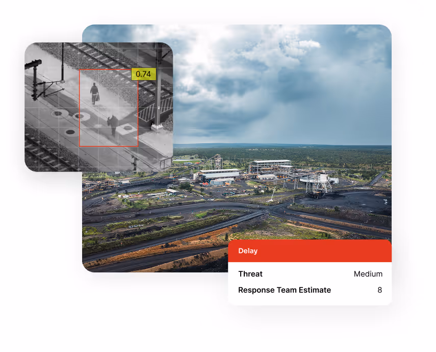
Real-time instant detection of potential security threats
Equipped with high-definition infra-red cameras, our perimeter security drones detect threats instantly with RGB, lidar and thermal sensors so your security team has greater clarity 24/7.
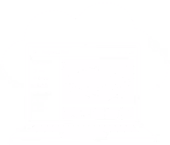
Easily schedule flights and access your data with our drone management software
Skylink
Anyone on site can request flights, with every request recorded in one place. Skylink brings your entire operation into one place: missions, assets, airspace, people, and data. Every mission is logged and visible in real time so you have a single source of truth.
SiteTube
Your images and survey data upload automatically to SiteTube, ready for teams to access, review, and share. With everything connected through one system, information is easy to find without manual file handling and shared folder complications.
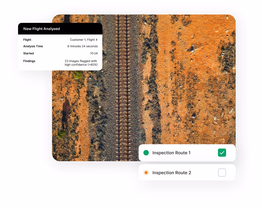
Automated data workflows
We help you automate the repetitive, manual workflows behind drone data. Get the outputs you need without spending hours processing files and moving data between systems. Reduce manual file handling and eliminate clunky scripts to get accurate drone data faster.


How it works
Get survey data and images whenever you need them. Schedule a mission, our remote pilots fly it for you, then your data is uploaded and ready to access in the cloud.
SkyLink
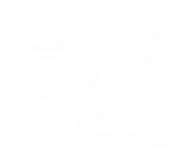
Anyone on site can schedule a flight in SkyLink.
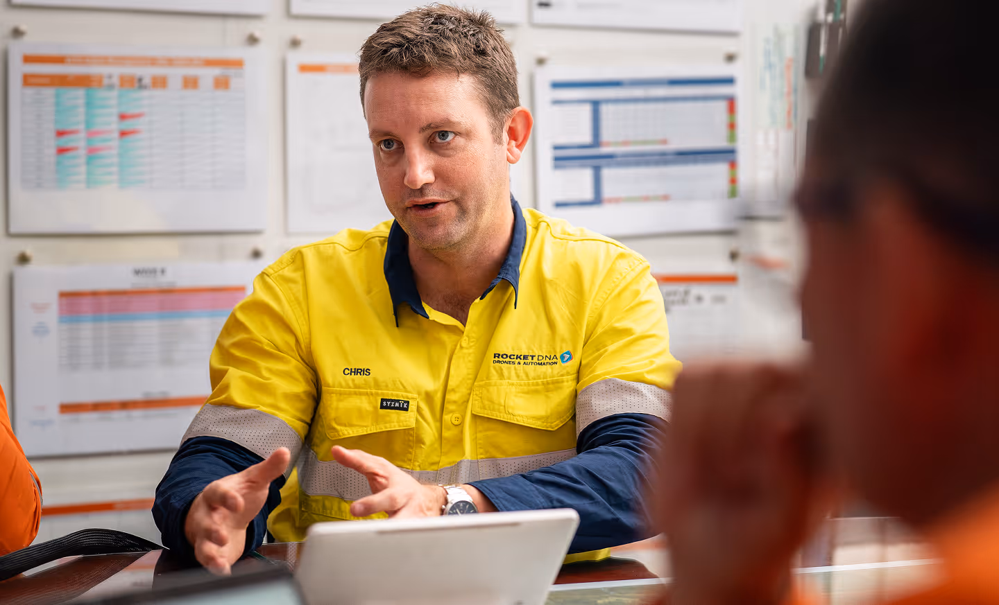
Remote Ops Centre
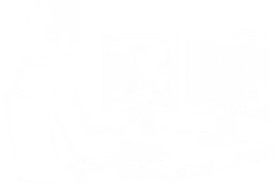
Our ROC team plans the mission and flies the xBot remotely.
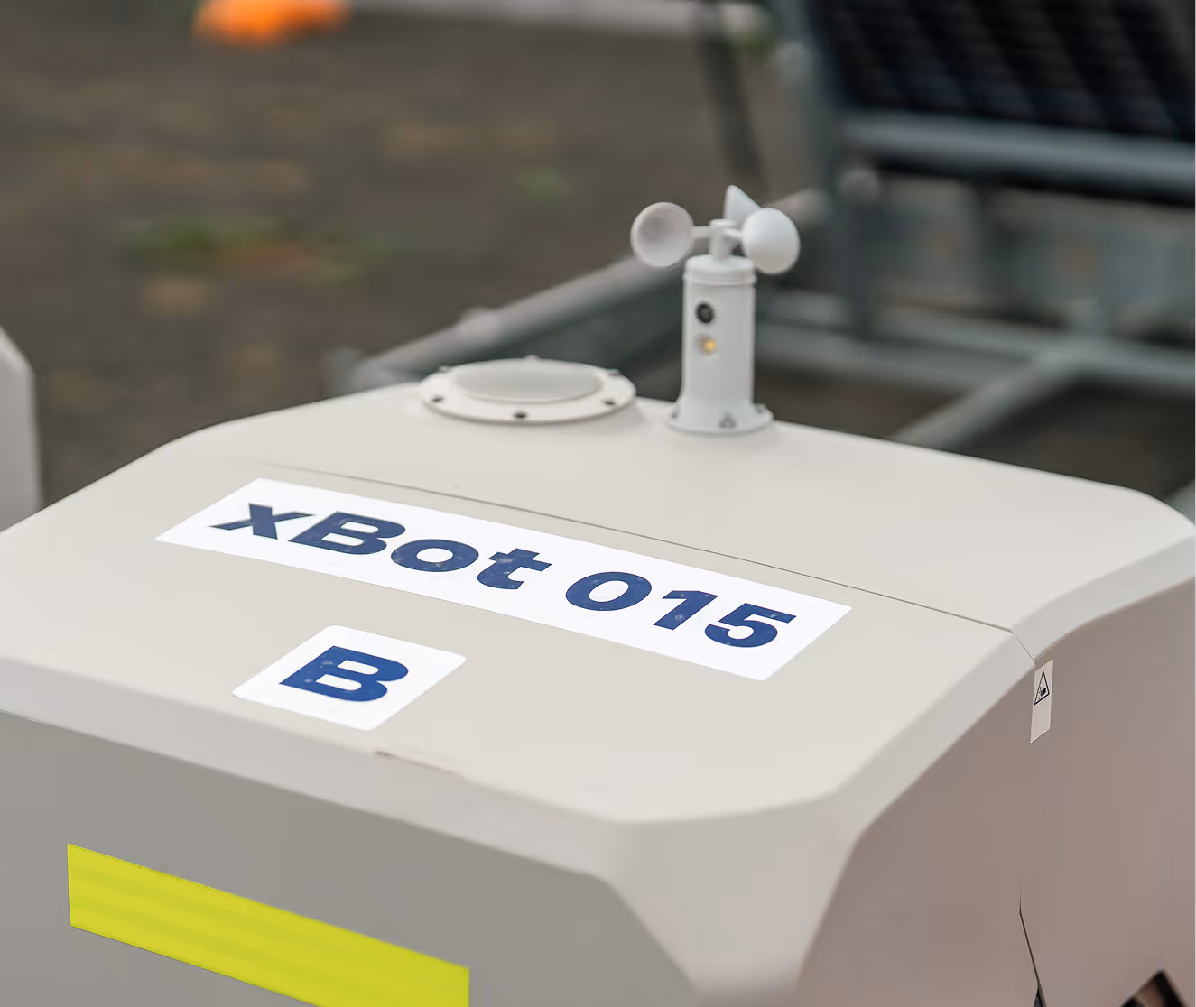
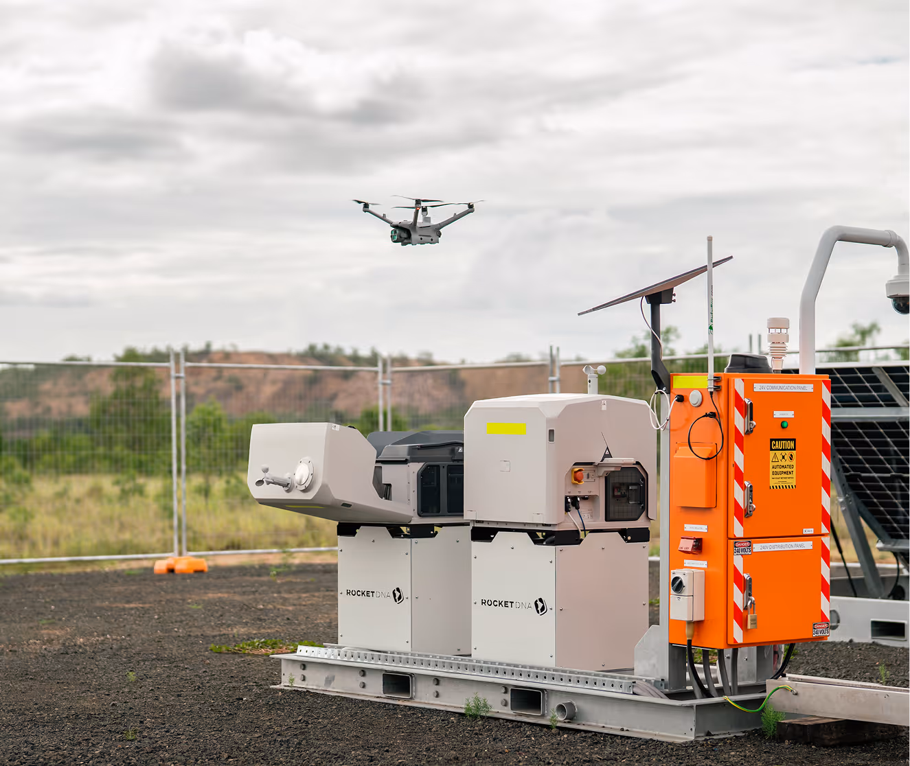
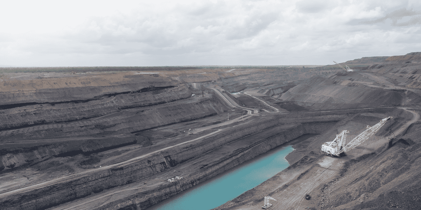
xBot Drone
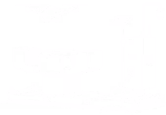
The xBot drone launches and our ROC pilot flies the mission.
SiteTube
Your images & data are uploaded to Site Tube for your team to access.
We make it easy to capture and manage drone survey data
We’re an ASX-listed enterprise autonomous drone company that combines the hardware, software, and piloting end-to-end. Our autonomous drone-in-a-box systems speed up mining operations and give everyone on site faster access to the drone survey data they need.

.png)